The 310 Miles Breaking Brexit
We spent four days tracing the border between Ireland and the U.K. It touches on every aspect of daily life—and the memories of a turbulent history nobody wants to repeat.
It’s the most problematic issue in Britain’s tumultuous departure from the European Union, but with all the political wrangling it’s easy to lose sight of why the border on the island of Ireland really matters so much.
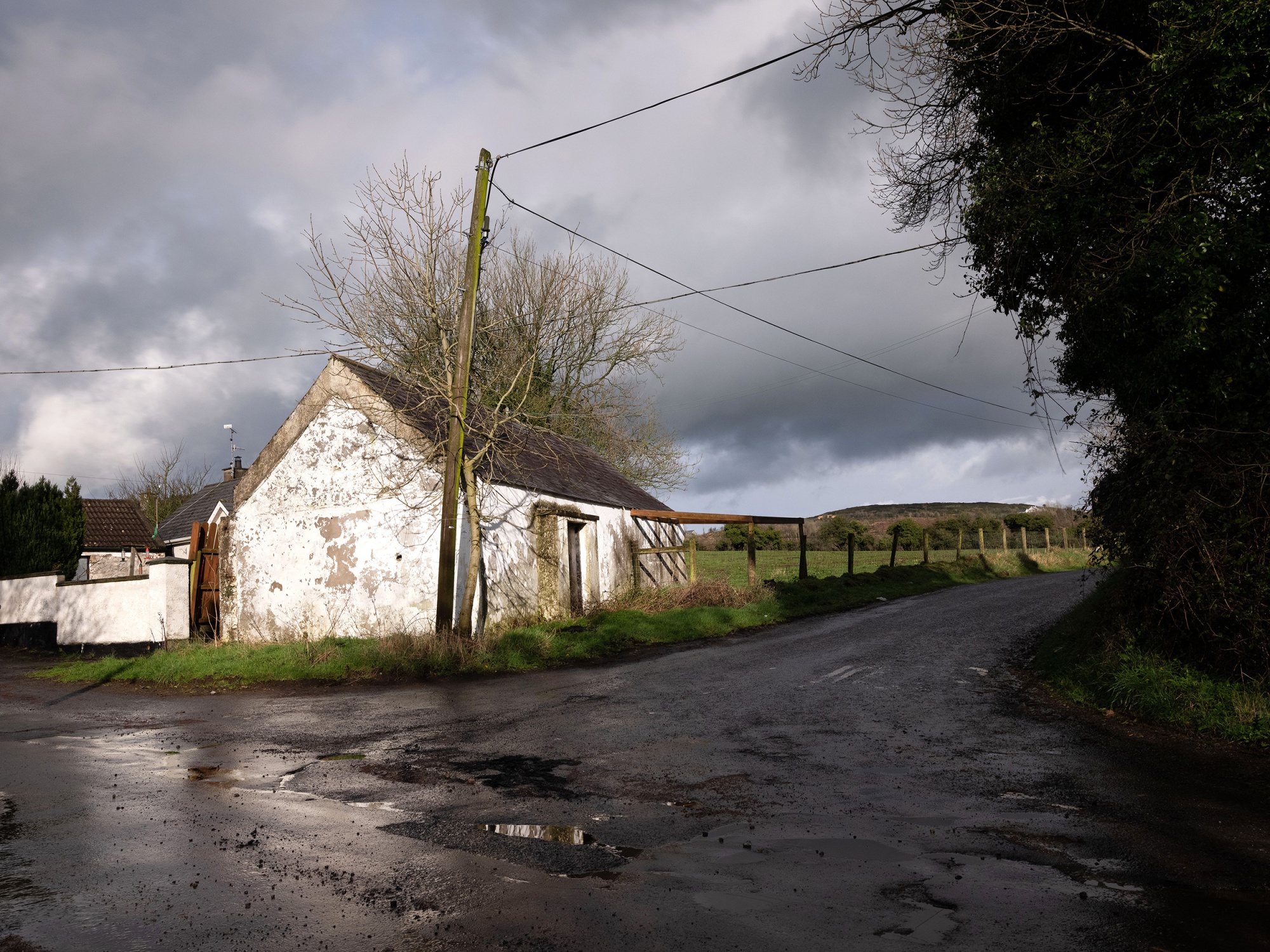
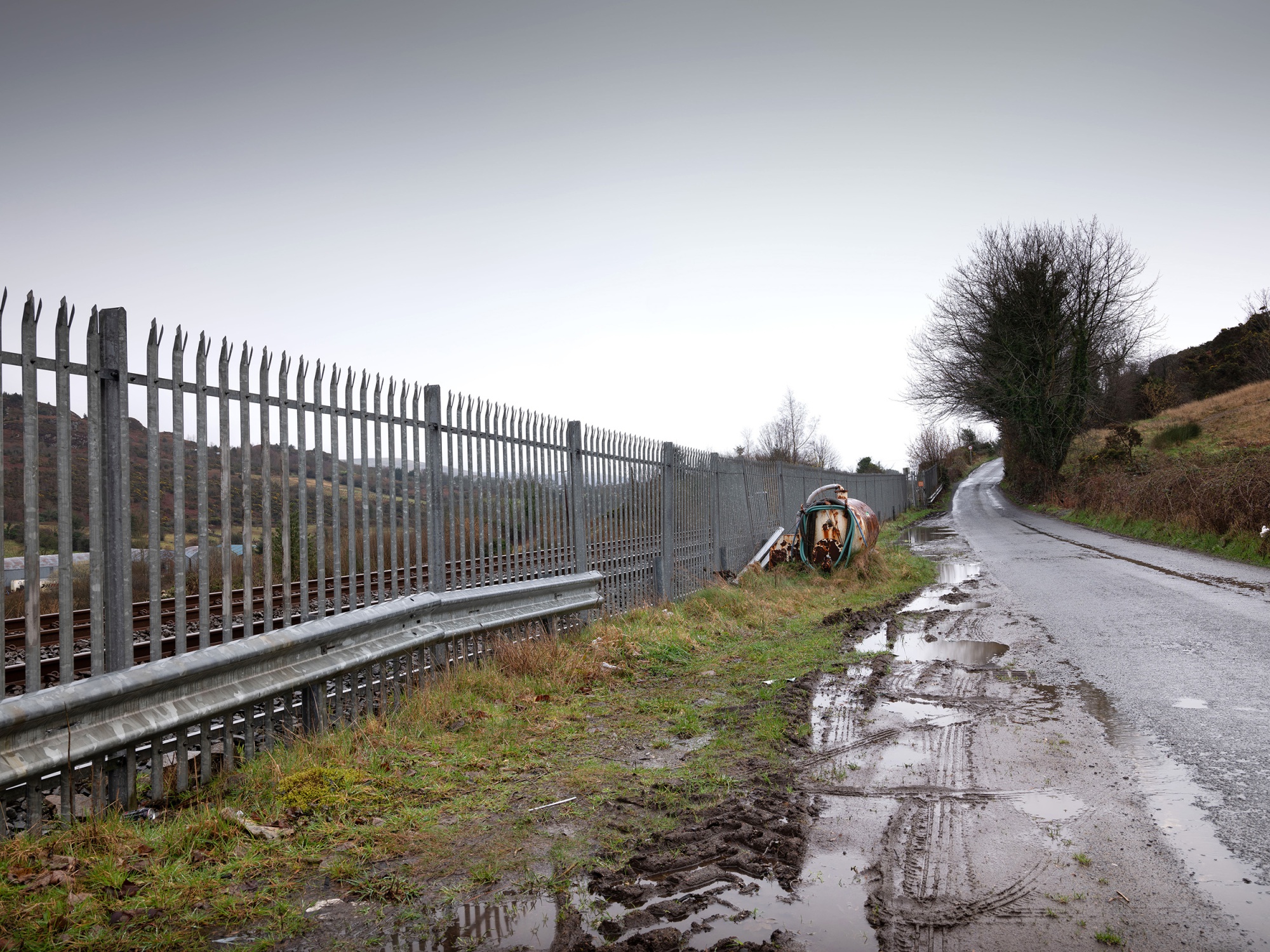
The 310 mile (500 kilometer) line that cuts through rivers, lakes, farms, roads and villages separates two countries with different currencies, heads of state and political systems. It also marks a division that has weighed on British and Irish history for a century, a reminder of terrorist gun-running, illicit alcohol, military checkpoints and bombs.
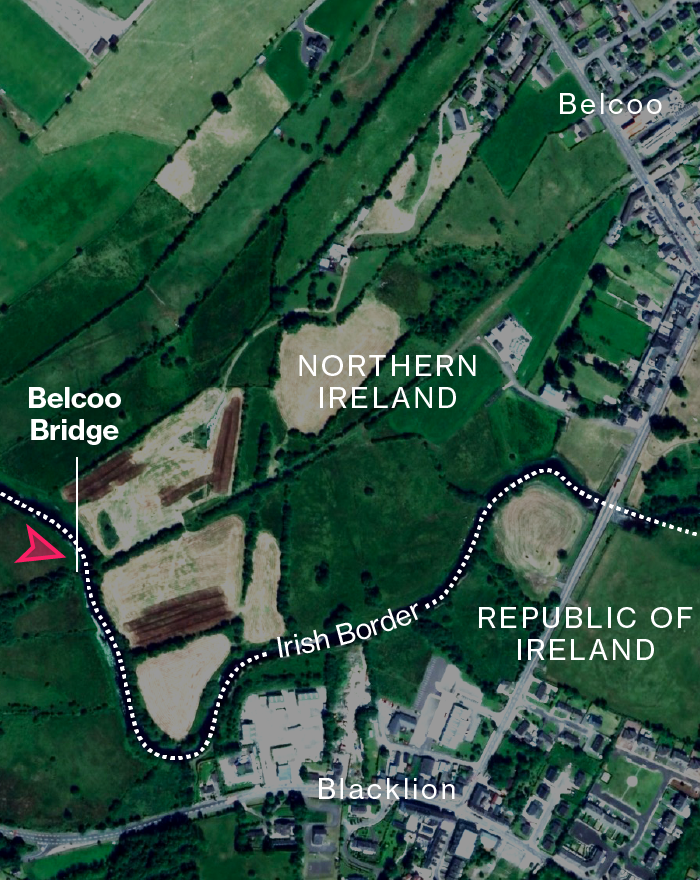
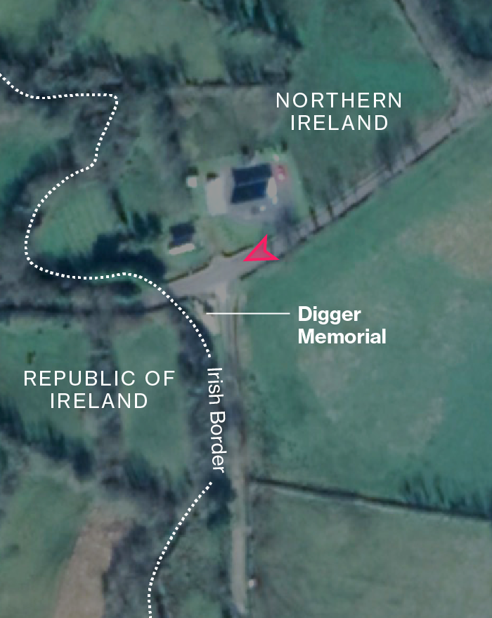
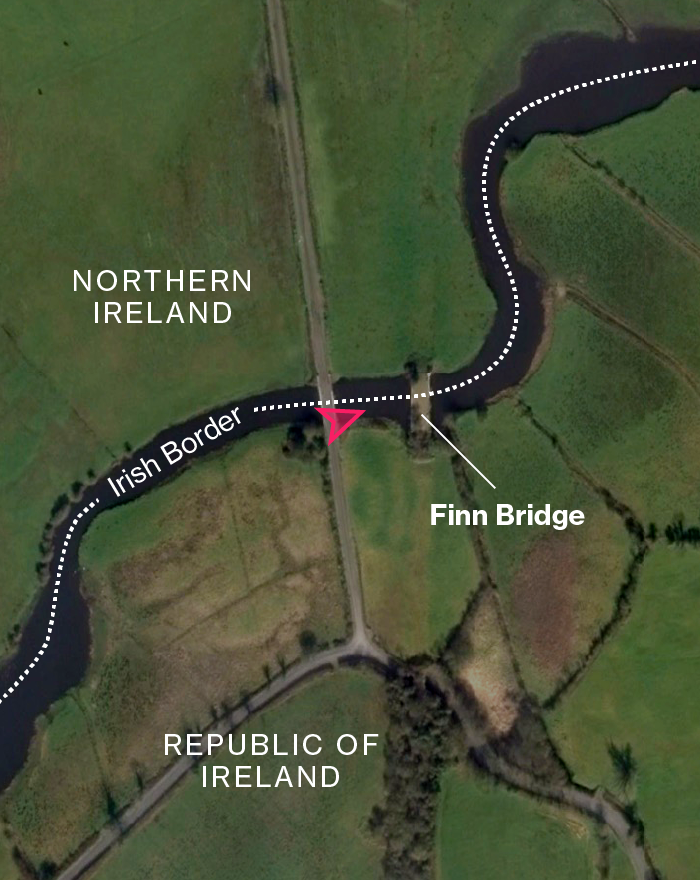
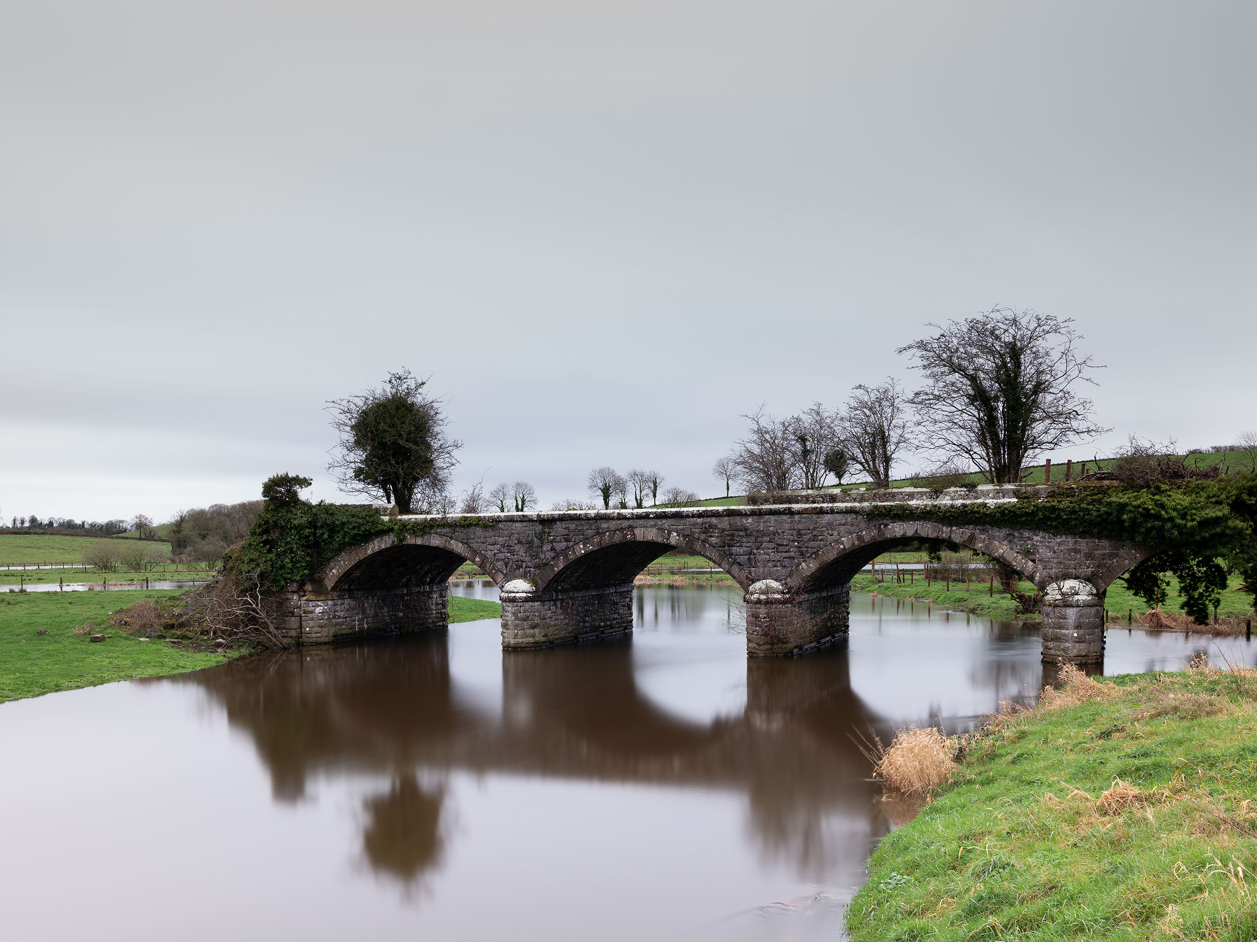
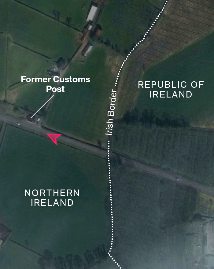
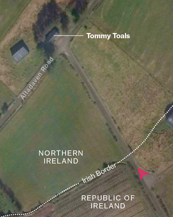
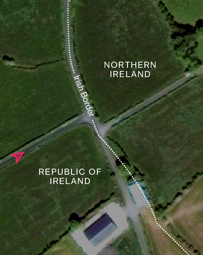
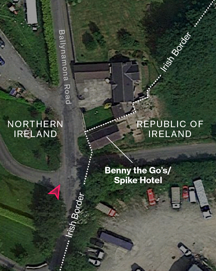
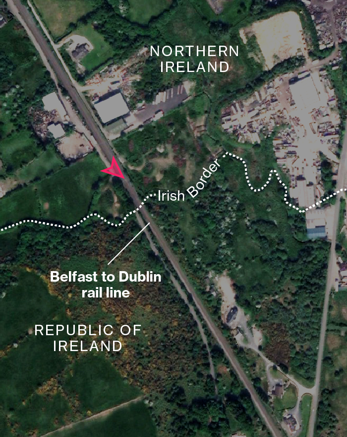
Government agencies on both sides last year undertook the task of figuring out how many public road crossings exist on the border. They found 208. In contrast, there are only 137 land crossings on the entire 3,720 mile frontier that separates the EU from Belarus, Moldova, Russia and Ukraine.
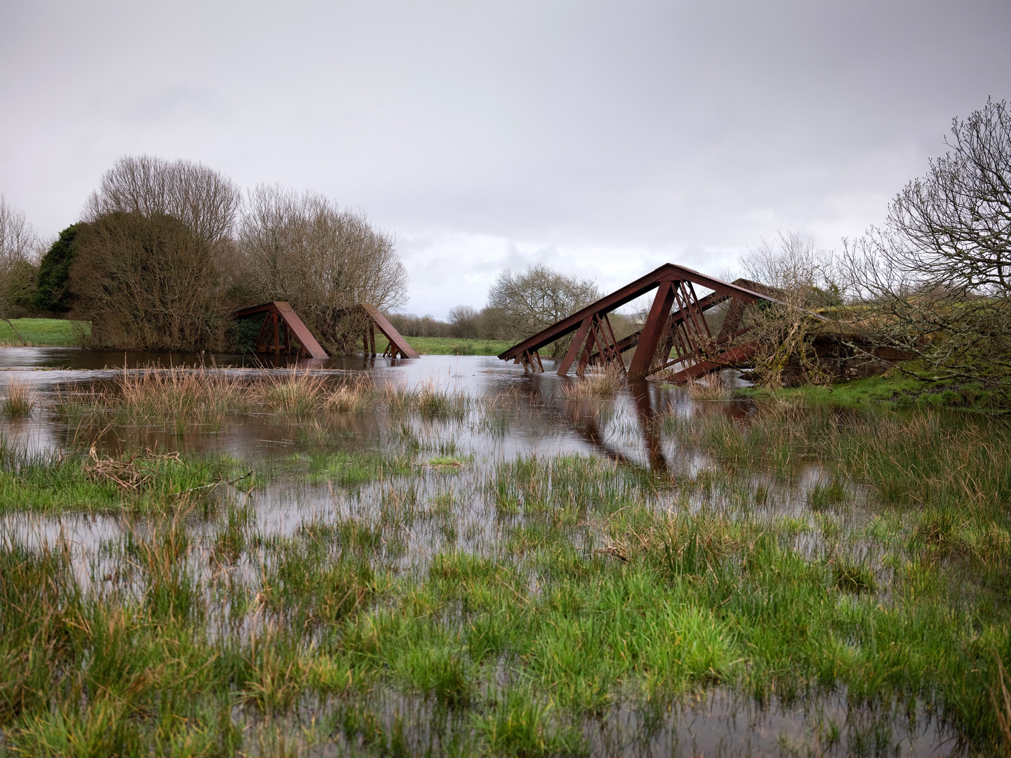
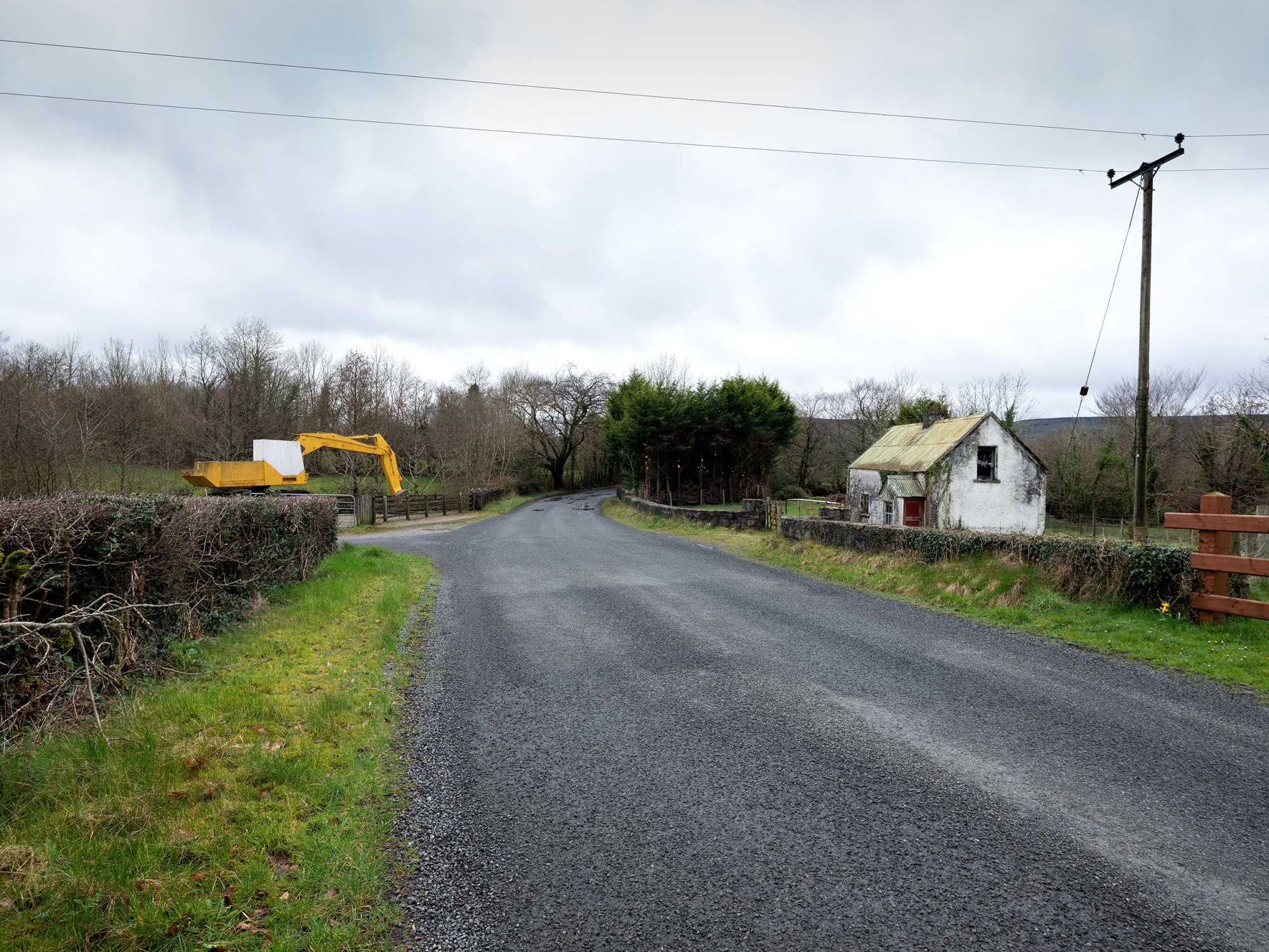
Only a fraction of the Irish crossings were open during the conflict between the north and south. Some roads cross the border multiple times, while others are split along the center.
The Troubles
Europe is defined by borders. Some were created as empires crumbled, others removed or shifted. The Irish frontier came from the partition between the predominantly Protestant north and the mainly Catholic south in 1921 as Ireland gained independence from Britain.
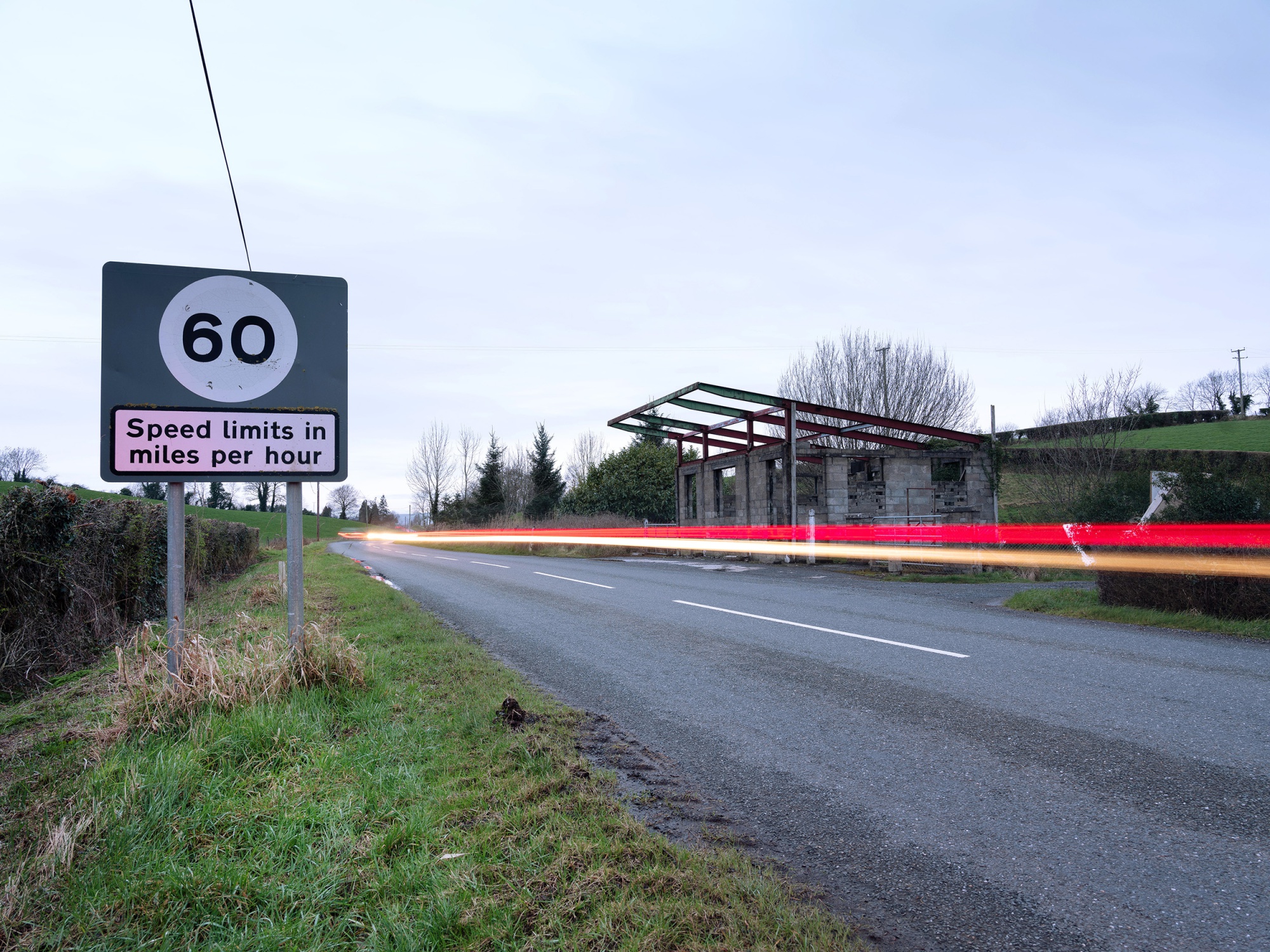
Six Ulster counties remained part of the U.K., and customs checks were introduced. They lasted through the sectarian conflict between Irish republicans wanting to unite the country and pro-U.K. unionists. Known as the “Troubles,” violence escalated in the 1970s and eventually claimed more than 3,500 lives.
The advent of the EU’s single market in the early 1990s led to the abolition of customs controls. The Good Friday Peace Agreement in 1998 then called for the dismantling of the security checkpoints that had disrupted so many people’s lives for two generations.
Northern Ireland still receives EU funding to foster post-conflict stability. Indeed, hard-line groups remain on both sides. In one incident in January, a bomb placed by dissident republicans in a van exploded in the city of Derry, also known as Londonderry.
Free Movement
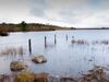
Even in the dark days of army patrols, the border passing through the lush green Irish landscape was always porous and tough to police. Just about the only thing politicians of all stripes agree on is that it needs to remain open and fluid.
As well as the social impact a hard border would have, there’s trade. Imports and exports between Ireland and the U.K. are worth about 1 billion euros ($1.1 billion) a week. Most of it goes across the sea, but goods are shipped back and forth on the motorway and trunk roads linking Ireland with Northern Ireland.
At the 15 border locations tracked by the Northern Irish statistical agency, 3.5 million vehicles crossed last month, roughly one for every two people living on the island of Ireland. That includes shoppers heading north or south—the most recent data show that Irish consumers spent 458 million euros in Northern Ireland in a year—as well as funeral directors, who pick up the deceased on one side and bury them on the other.
Farms and Fields
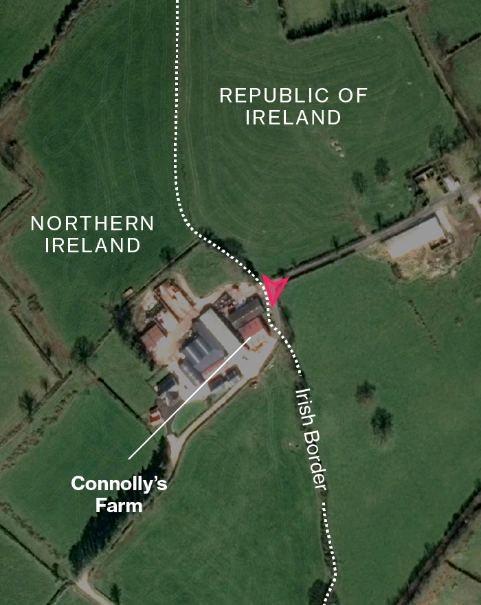
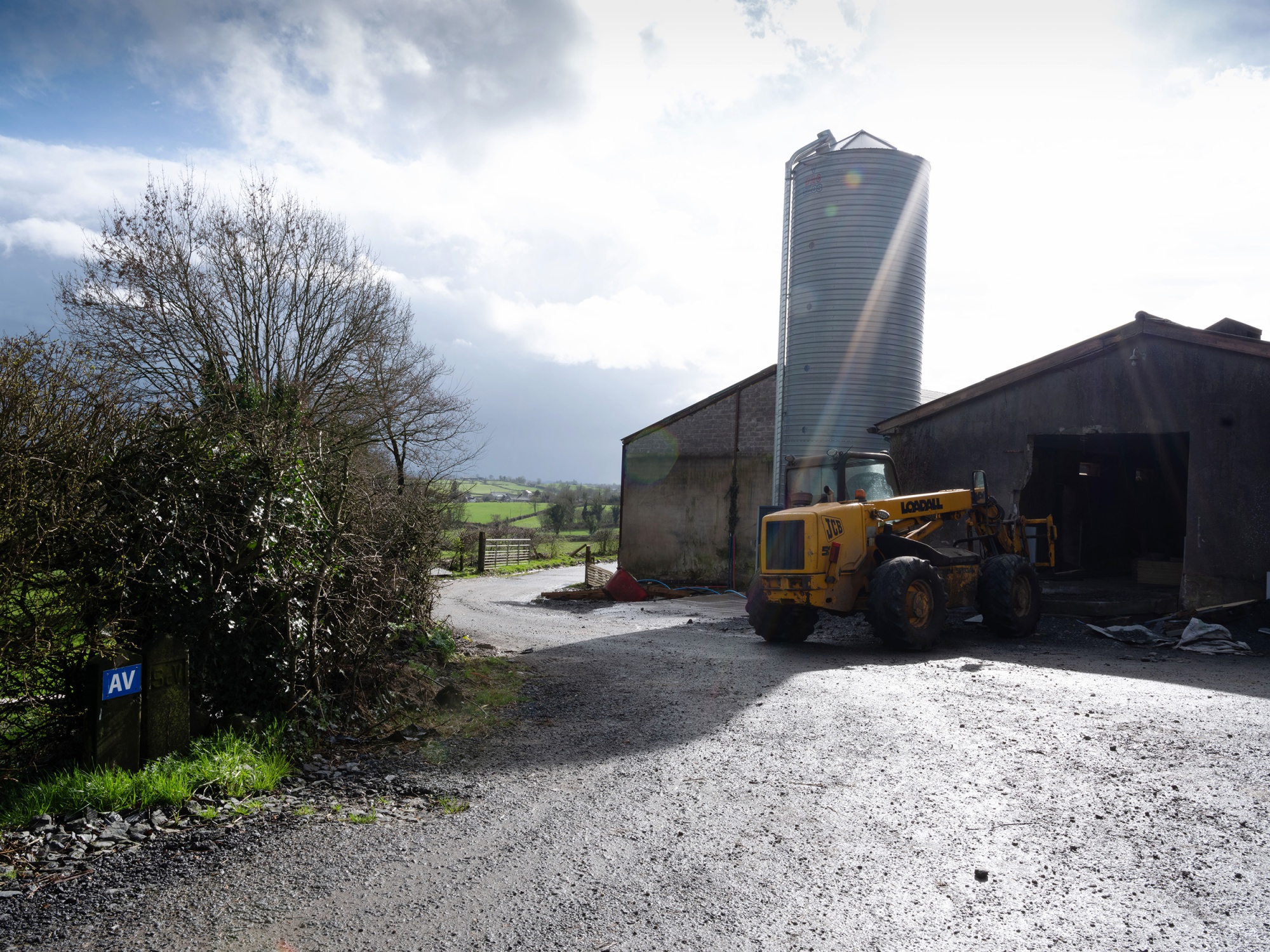
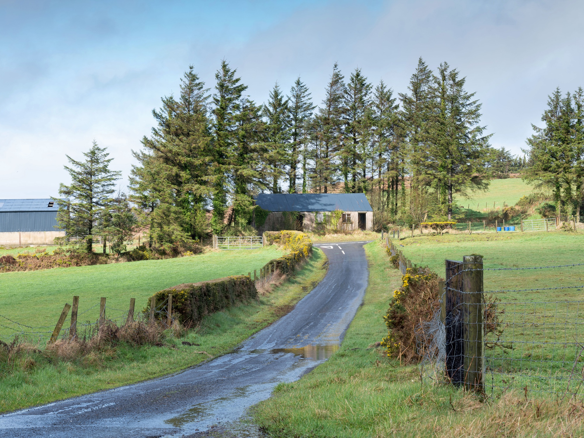
Ireland, both north and south of the border, is more dependent on agriculture than the U.K., particularly dairy and cattle farming. Northern Ireland has about 25,000 active farm businesses and villages along the border all have stories of what it used to be like. Hugh Connolly, whose dairy farm is pictured above, had to make a 15-mile round trip to get to his fields on the southern side of the border after the British army blocked off the crossing in 1984.
During the Troubles, farmland and barns were used for hiding weapons and people on the run. Farmers were coerced and attacked. Arlene Foster, the leader of the Democratic Unionist Party whose support the U.K. government counts on for a majority in Parliament, was a young girl when her father was shot at the family farm near the town of Enniskillen.
Pounds and Euros
Ireland joined the euro while Northern Ireland kept the pound like the rest of the U.K. A decade ago, that didn’t look like a bad idea as Ireland got submerged by the European debt crisis and followed Greece into a financial meltdown. The pound’s strength against the euro meant Northern Irish shoppers would hunt for bargains in the south.
Now times have changed. Ireland’s economy is growing more than three times as quickly as the U.K.’s, and the government in Dublin is determined not to have Brexit and a potential border with Northern Ireland disrupt that. Meanwhile, Irish shoppers seek Brexit bargains after the pound plunged 10 percent against the euro.
Sluggish Britain
Note: 2018-2020 = forecasts
Source: European Commission
A Long Road
There are few better examples of just how far the borderlands have evolved than in Derry, or Londonderry as it’s officially named in the U.K.
It’s the place where the Troubles erupted in the late 1960s as Catholics campaigned for equal rights. In 1972, it was the scene of “Bloody Sunday” when British paratroopers fired on demonstrators, an atrocity that left 13 people dead. On March 14, U.K. prosecutors charged a former British soldier with murder over two of the deaths.
The U.K. government formally apologized in 2010, the same year it was announced that Derry-Londonderry would be the U.K.’s first City of Culture. Even so, the woman who was in charge of running the year of events in 2013 had her office bombed at least twice by dissident republicans during the run-up. They claimed the city wasn’t part of the U.K.
Now a place synonymous with conflict is once again on the front line of a divided country. The U.K. remains in limbo over Brexit and its political system paralyzed. Parliament has voted to extend the process of leaving the EU to figure out where to go next. At the heart of why former Prime Minister Theresa May couldn’t get a majority to support her deal lies the intractable question: What would the future hold for the Irish border?
Editor: Patricia Suzara
With assistance from Dara Doyle and Zoe Schneeweiss
Map data: Google, DigitalGlobe